

NPC Page Template
FPn81 - Northern Rich Tamarack Swamp (Water Track)
Vegetation Structure & Composition
Description is based on summary of vegetation data from 20 plots (relevés).
- Moss layer usually has >50% cover and is characterized by hummocks and water-filled hollows. Typically dominated by Sphagnum with feathermosses common.
- Forb layer is sparse. Characteristic species are marsh cinquefoil (Comarum palustre), tufted loosestrife (Lysimachia thyrsiflora), three-leaved false Solomon’s seal (Maiathemum trifolium), and pitcher plant (Sarracenia purpurea).
- Graminoid layer is sparse but diverse, typically including poor sedge (Carex magellanica), soft-leaved sedge (C. disperma), and bristle-stalked sedge (C. leptalea).
- Low-shrub layer has variable cover and is dominated by ericaceous species, especially Labrador tea (Rhododendron groenlandicum), with small cranberry (Vaccinium oxycoccos) and bog rosemary (Andromeda polifolia) common.
- Tall-shrub layer has variable cover, and is usually dominated by bog birch (Betula pumila), mountain fly honeysuckle (Lonicera villosa), and willows (Salix spp.).
- Understory trees include tamarack, black spruce, and, occasionally, white cedar.
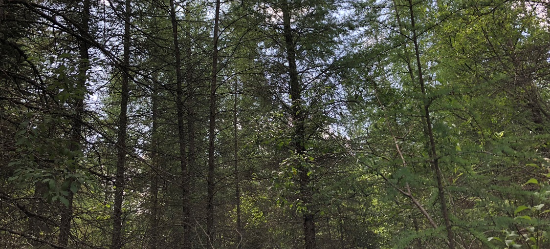
- Canopy is patchy to interrupted (25-75% cover) and dominated by tamarack, typically with some black spruce.
Landscape Setting and Soils
FPn81 occurs in large peatland complexes on the Glacial Lake Agassiz plain and peat-filled basins in scoured bedrock terrain. It is present in settings influenced by lateral flow of mineral-rich groundwater that has passed through underlying calcareous sediments. FPn81 can form on slightly elevated teardrop-shaped islands within rich fen water tracks, in areas peripheral to water tracks, or as incipient water tracks identifiable on aerial photos as linear areas of sparse tamarack. Along water tracks, FPn81 typically occurs in areas intermediate between Northern Rich Fen (Water Track) (OPn91), which occupy the lowest and wettest zones, and Northern Rich Spruce Swamp (Water Track) (FPn71), which occur on elevated, slightly drier peat. Soils are deep peat (>15in [40cm]). Surface water pH ranges from 5.5 to 7.2. Water table is near the peat surface; hollows in the peat surface usually are water filled.