

NPC Page Template
MHn35 - Northern Mesic Hardwood Forest
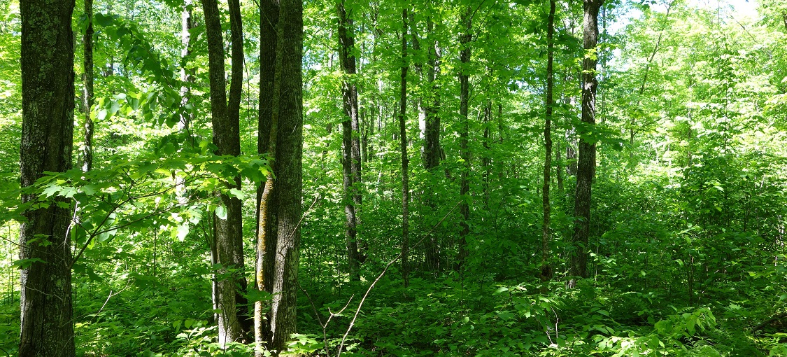
Vegetation Structure & Composition
Description is based on summary of vegetation data from 256 plots (relevés).
- Ground-layer cover is variable, ranging from sparse (5-25%) to continuous (>75%). Wild sarsaparilla (Aralia nudicaulis), large-leaved aster (Eurybia macrophylla), mountain rice grass (Oryzopsis asperifolia), and rose twistedstalk (Streptopus lanceolatus) are present in more than 75% of the sites. Other common plants include Pennsylvania sedge (Carex pensylvanica)—which often is the most abundant ground-layer species present—sweet-scented bedstraw (Galium triflorum), large-flowered bellwort (Uvularia grandiflora), and bluebead lily (Clintonia borealis).
- Shrub-layer cover typically varies from patchy (25-50%) to continuous. Sugar maple is the most important species; other frequent species are beaked hazelnut (Corylus cornuta), chokecherry (Prunus virginiana), pagoda dogwood (Cornus alternifolia), fly honeysuckle (Lonicera canadensis), and balsam fir.
- Subcanopy is often present, but cover is variable, with sugar maple and ironwood the most important species.
- Canopy is usually continuous (>75% cover), and dominated by sugar maple with basswood and northern red oak, or by variable mixtures of paper birch, sugar maple, basswood, and quaking aspen.
Landscape Setting and Soils
- Stagnation moraines — Common. Present on level areas within otherwise hummocky terrain. Parent material is fine-textured till with loamy or sandy-loam surface layers. The till is non-calcareous or calcareous only at depths greater than 40in (100cm). Firm, clayey subsoil horizons that perch snowmelt and rainfall are present, but there is no indication of prolonged soil saturation. Soils are well drained. Soil-moisture regime is fresh. (Chippewa Plains, Pine Moraines & Outwash Plains, and St. Louis Moraines in MDL; WSU; North Shore Highlands in NSU)
- Till plains — Occasional. Landscape is level to rolling with long, gentle slopes. Parent material is non-calcareous sandy-loam till or finer-textured till that is weakly calcareous below 40in (100cm). Subsoil horizons that can perch snowmelt or rainfall are present. In coarser drift, these subsoil horizons are firm because of partial cementation of soil particles. In finer-textured drift, subsoil horizons are firm because of accumulation of clay particles. In rolling topography, soils are well drained, and the soil-moisture regime is fresh. In level terrain and on lower slopes, soils are moderately well drained, and the soil-moisture regime is moderately moist. (Chippewa Plains, Pine Moraines & Outwash Plains, and St. Louis Moraines in MDL; WSU; North Shore Highlands in NSU)
- Scoured bedrock terrain — Rare. Landscape is rugged with steep slopes. Parent material is a discontinuous mantle of non-calcareous till and bouldery colluvium, about 20-50in (50-125cm) thick, over bedrock. In some places wind- or water-deposited silt is present on the surface. There is no indication of prolonged soil saturation, but the underlying bedrock may serve to perch snowmelt and rainfall. Soils are well drained, and because they are very shallow, the soil-moisture regime is dry. (North Shore Highlands in NSU)