

NPC Page Template
MHn44 - Northern Wet-Mesic Boreal Hardwood-Conifer Forest
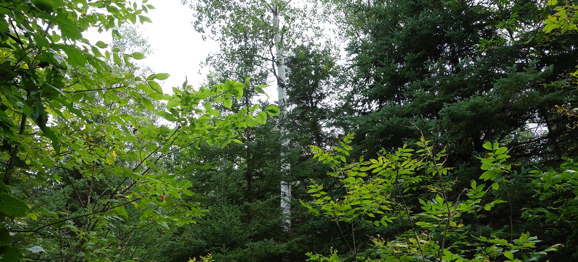
Vegetation Structure & Composition
Description is based on summary of vegetation data from 148 plots (relevés).
- Ground-layer is usually interrupted to continuous (50-100% cover), with Canada mayflower (Maianthemum canadense), wild sarsaparilla, (Aralia nudicaulis), sweet-scented bedstraw (Galium triflorum), dwarf raspberry (Rubus pubescens), and large-leaved aster (Eurybia macrophylla) most frequent.
- Shrub-layer has variable cover and is composed primarily of deciduous species, especially beaked hazelnut (Corylus cornuta). Other important shrub species include chokecherry (Prunus virginiana), juneberries (Amelanchier spp.), bush honeysuckle (Diervilla lonicera), and mountain maple (Acer spicatum).
- Subcanopy is poorly developed. Quaking aspen, balsam fir, black ash, paper birch, and red maple are most important.
- Canopy cover is variable, usually dominated by quaking aspen, often with paper birch and balsam fir and less frequently with red maple, white spruce, or black ash. In SSU, the canopy may be dominated by white pine, white spruce, and paper birch rather than quaking aspen.
Landscape Setting and Soils
- Dissected glacial lake sediments — Common. Present on slopes, alluvial bottoms, and old river oxbows. On slopes, the parent material is silty clay, and soils are saturated in the spring and dry slowly throughout the growing season but appear to receive some groundwater input throughout the year. These soils are moderately well drained, and the soil-moisture regime is very fresh. On bottomlands and oxbows, the parent material is sandy alluvium. Soil colors indicate that the water table is about 60in (150cm) deep. These soils are moderately well drained, and the soil-moisture regime is fresh. (SSU)
- Stagnation moraines — Common. Present on level areas within otherwise hummocky terrain. Parent material is fine-textured, calcareous till. Organic material on the soil surface can be up to 5in (13cm) thick and is well decomposed. Soils have firm, clayey subsoil horizons that perch snowmelt and rainwater just above the water table. Gray soil colors indicating prolonged saturation are present within 20-30in (50-75cm) of the soil surface. Soils are somewhat poorly drained. Soil-moisture regime is moderate to very moist. (Chippewa Plains and St. Louis Moraines in MDL; WSU; and Hardwood Hills in MIM)
- Till plains — Common. Landscape is level to undulating. Parent material is fine-textured, calcareous till. Organic material on the soil surface can be up to 5in (13cm) thick and is well decomposed. Soils have firm, clayey subsoil horizons that perch snowmelt and rainwater just above the water table. Gray soil colors indicating prolonged saturation are present within 20-30in of the soil surface. Soils are somewhat poorly or poorly drained. Soil- moisture regime is very moist. (Chippewa Plains and St. Louis Moraines in MDL; WSU; Littlefork-Vermillion Uplands in MOP)
- Glacial lake sediments — Occasional. Landscape is flat to undulating. Parent material is well-sorted fine sand. Organic material on the soil surface can be up to 6in (15cm) thick, but soils dry seasonally to a depth of about 1 foot, preventing accumulation of peat. Gray soil colors present below 6-15in (15-40cm) indicate a high and apparently stable water table. Soils are poorly drained. Soil-moisture regime is very moist. (MOP)