

NPC Page Template
WFs57 - Southern Wet Ash Swamp
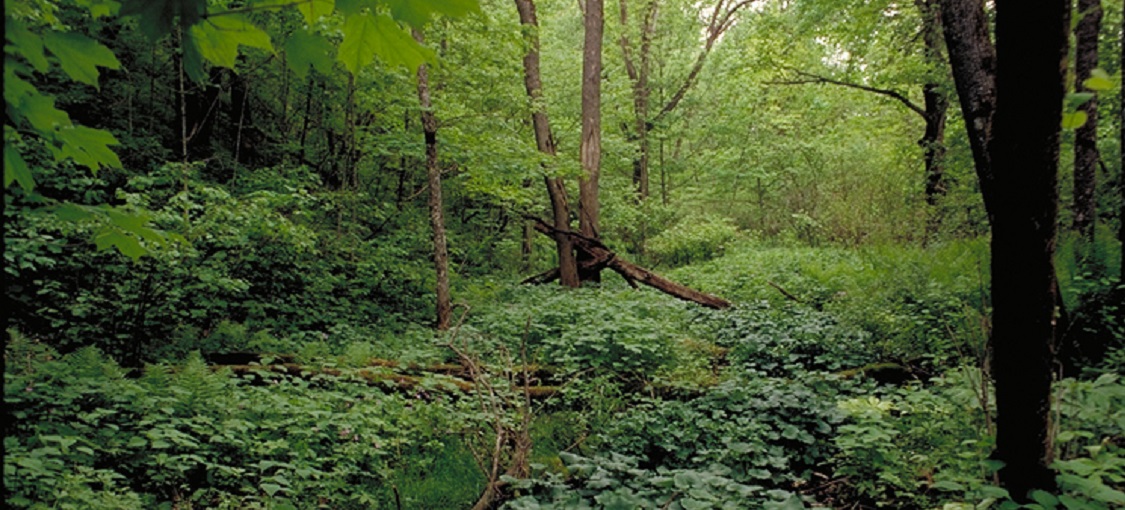
Vegetation Structure & Composition
Description is based on summary of vegetation data from 24 plots (relevés)
- Ground-layer is characterized by raised peaty hummocks, with open pools and rivulets in seepage areas. Wetland species such as common marsh marigold (Caltha palustris) and fowl manna grass (Glyceria striata) are common in wet areas, with touch-me-nots (Impatiens spp.), Virginia creepers (Parthenocissus spp.), jack-in-the-pulpit (Arisaema triphyllum), wood nettle (Laportea canadensis), wild geranium (Geranium maculatum), tall coneflower (Rudbeckia laciniata), and other mesic or wet-mesic forest species present on hummocks. Skunk cabbage (Symplocarpus foetidus) is often present in seepage zones.
- Shrub-layer is sparse (5-25% cover). Black ash seedlings or saplings are almost always present, often with chokecherry (Prunus virginiana), wild black currant (Ribes americanum), and nannyberry (Viburnum lentago).
- Subcanopy, when present, is patchy to interrupted (25-75% cover) and generally not well differentiated from canopy.
- Canopy is patchy to interrupted and dominated by black ash, often with other hardwood species, especially basswood, sugar maple, and American elm. Yellow birch is sometimes abundant.
Landscape Setting and Soils
WFs57 occurs on strongly rolling to steeply dissected terrain where there is sufficient relief for groundwater to upwell in springs or in broad discharge zones. Most often these seepage areas are present at the contact between steep bedrock slopes and alluvial river valley bottoms; less often, they develop in regions of deep glacial drift where groundwater flows through highly permeable aquifers and emerges at the ground surface. In all settings, springheads and rivulets with continuously flowing cold groundwater are evident. Parent material is silty colluvium or alluvium capped by mucky peat. The organic cap is often thin and discontinuous in the southeastern blufflands, and thicker to the north, where peat depths can exceed 40in (100cm). The underlying mineral soil is gray, indicating permanent saturation. Soils are poorly to very poorly drained. Soil-moisture regime is very moist to moderately wet. (WSU, MIM)