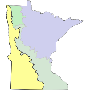
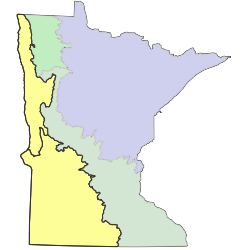
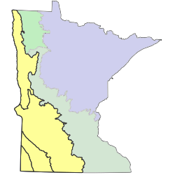
The Prairie Parkland (PPA) Province traverses western Minnesota, extending northwest into Manitoba, west into North Dakota and South Dakota, south into Iowa, Nebraska, Kansas, Oklahoma, and Missouri, and east into Illinois and Indiana. In Minnesota, the province covers just over 16 million acres (6.5 million hectares), coinciding with the part of the state historically dominated by tallgrass prairie. Mean annual temperatures (1971-2000 normals) vary from 36°F (2°C) in the north to 48°F (9°C) in the south. Evapotranspiration is greater than precipitation across much of the province in Minnesota, with deficits reaching -8 inches (-20cm) along the western edge. The extreme southeastern corner of the province is characterized by a small (1 inch [3cm]) precipitation surplus. Precipitation increases from about 18 inches (46cm) annually in the north to 33 inches (84cm) in the south. Low winter precipitation, short duration of snow cover, and desiccating westerly winds promote severe spring fire seasons that favor grassland over forest vegetation.


The land surface of the province was heavily influenced by the most recent glaciation. Ice sheets crossed the province several times during the Wisconsin glaciation, depositing a mantle of drift 100 feet to 600 feet (30 meters to 180 meters) thick in most places. The last lobe of ice, the Des Moines lobe, deposited calcareous drift in the southern part of the province. The ice lobe was fronted to the north by the largest pro-glacial lake in North America, Glacial Lake Agassiz, which deposited deep-water sediments over the northern part of the province in Minnesota. Glacial River Warren, the early outlet at the southern end of Glacial Lake Agassiz, cut a deep, broad valley that bisects the southern half of the province. This valley is now occupied by the Minnesota River. Because of the thick mantle of drift covering most of the province, bedrock exposures are rare, being limited to the deeply downcut Minnesota River valley and a few places where quartzite bedrock highs protrude through thinner drift in the southwestern corner of the province.


